SPOT RUTE

Prince Shotoku Course

According to the Nihon Shoki,in 593, Prince Shotoku became regent.Later,in 605, Prince Shotoku moved to Ikaruga Palace, and he founded Horyuji Temple next to Ikaruga Palace(present Toin, Yume-dono). At the beginning of 7th century, Ikaruga culture flourished under the protection of Prince Shotoku.

1
Horyuji I Center
Go Map

4 minutes on foot

2
Horyuji Temple
Go Map

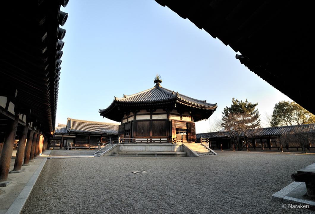
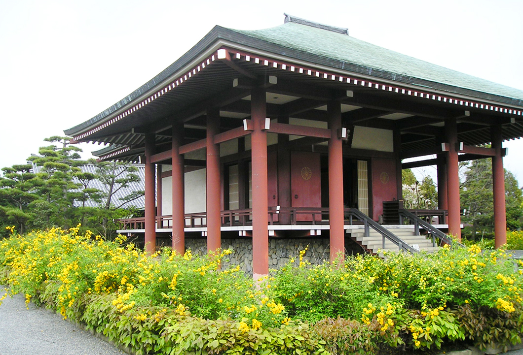
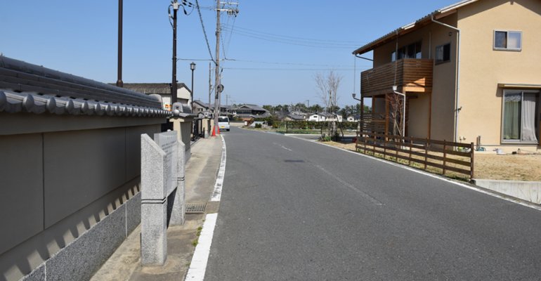
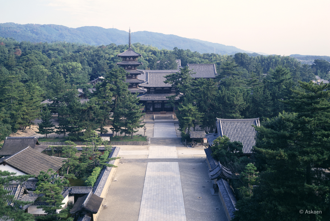
Horyuji is known for having the oldest wooden buildings in the world and was first registered in the UNESCO World Cultural Heritage in Japan in 1993. Wooden buildings from around the 7th century of the
Horyuji temple have been repaired every few hundred years and cathedral has been maintained. The cypress which is used for the construction is the wood suitable for the climate of dense, crazy less Japan, and has been repaired in the form of removing only damaged place, and taking advantage of other large members as it is, and keeps the building exceeding 1000 years.
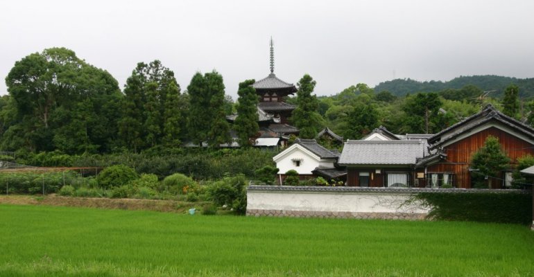
Also, the beautiful five-storey pagoda with a sense of stability is superior in the architectural structure, and there is no record of the collapse due to the earthquake in the earthquake power and Japan, and it is applied to the heart pillar system of the latest Japan radio Tower "Tokyo Sky Tree".

4 minutes on foot

3
Toin Garan(Eastern Precinct)and Yumedono(Hall of Visions)
Go Map

The Kuse Kannon (Avalokitesvara the Savior, a national treasure) is enshrined in Hakkakuendo, which was built on the former site of Prince Shotoku's Ikaruga Palace. The Kuse Kannon is a Buddhist image with the body proportions of Prince Shotoku that is normally withheld from public view.

1 minutes on foot

4
Chugu-ji Temple
Go Map

This temple is said to have been built by Prince Shotoku for his mother, Empress Anahobe no Hashihito. The mysterious smile of the temple's statue of a bodhisattva in the half-lotus position is esteemed as one of the world's three great smiles.

8 minutes on foot

5
The Old Site of Chuguji Temple
Go Map

The present Chuguji Temple is located on the east side of the Horyuji eastern precinct,
but it was originally located about 400 meters east of it. To distinguish it from the present Chuguji Temple, it is called “Chuguji Temple Ruins”. The excavation confirmed that the main hall and the pagoda were built in a straight line, which is called “Shitennoji-style arrangement” that is the same arrangement as the Ikarugadera Temple (Wakakusa Garan) built by Prince Shotoku. However, it seems to be an incomplete temple because no lecture hall and chorister were found. It was designated as a National Historic Site in 1990 and 2001.

7 minutes on foot

6
Komazuka Tumulus
Go Map

It is located on the south side of Route 25 and Kouzen village. It is a keyhole-shaped tumulus toward the south of its front. It measures 49 meters in length, but the original length is not clear because its front part has been deformed. It is said that the Prince Shotoku’s beloved horse “Kurokoma” was buried in this tumulus. The excavation conducted by the Ikaruga Town Board of Education suggests that the tumulus was constructed in the second half of the 4th century. It was designated as a Town Historical Site in 1992 together with Choshimaru Tumulus.

4 minutes on foot

7
Choshimaru Tumulus
Go Map

It is located about 100 meters south of Komazuka Tumulus. The tumulus is a circular mound with the diameter of about 14 meters. It is said that Choshimaru who was taking care of the Prince Shotoku’s beloved horse “Kurokoma” was buried in this tumulus. From the excavation at the north side of the tumulus conducted in 2000, a head portion of earthen horse and harness were unearthed. The time of construction is unknown.

4 minutes on foot

8
Kamiya Iseki Park
Go Map

Ruins were discovered when the park was built as a part of the Ikaruga hometown re-creation project in 1991. Remains of columns for palace-class buildings, roof tiles and well marks were confirmed. Especially, the roof tiles showed the same mark of wound by the mold as those of Heijo palace in the Nara period. This suggests that the both roof tiles were produced in the same kiln using the same mold. From the fact, it is thought to be the “Akunami palace” that Empress Shotoku used as a temporary palace on the royal trip, according to the articles of “Shoku Nihongi”(the Chronicles of Japan continued). The park was built on the theme of “history”, “greenery” and “water” with sufficient attention to the preservation of the underground ruins.

3 minutes on foot

9
The Site of Old Jouhuku-ji Temple(the site of Ashigaki-no-miya)
Go Map

The site is located just on the south of Kamiya Iseki Park. No admittance to the site as it is fenced by wires. It is said to be the site of Ashigaki-no-miya palace where Prince Shotoku spent his last years with Lady Kashiwade. Also, according to the Chronicles of ancient Japan, Empress Shotoku stayed at Akunami-no-miya for 2 days, which was built on the site of Ashigaki-no-miya palace.

5 minutes on foot

10
Okidome Susanoo-jinja Shrine
Go Map

The enshrined god is Susanoo no-mikoto. The shrine is made in the Kasuga-zukuri style with the cypress bark roof. It is estimated to have been built in the late Muromachi period. It is designated a Prefectural Important Cultural Property as an example of the late medieval shrine.

15 minutes on foot

11
Horyuji i Center (Tourist Information Center)
Go Map

We will advise as to the town of Ikaruga, including Horyuji Temple, and also provide information on attractions and historical places.

OTHER RECOMMANDED

|

Three Ancient Pagodas Course

The“Three Pagodas”refer to the five-story pagoda of Horyuji Temple and the three-story pag

5km

Taima Peaceful Course

While walking around Ikaruga district, you can discover not a few sites and buildings related

7km

Flowers and Shallows Course

Spring reminds us of the cherry blossoms in Mt.Yoshino and autumn, of the scarlet maple leaves

7km

Fujinoki Tumulus / Poet Narihira Course

On this course, one can appreciate the history of Ikaruga's Tumulus Period. While walking

5km

Nature-Watching Course

Ikaruga district extends between the Yata Hills in the north and the Yamato River in the south

6km